Your history. Your inbox.
7 uniquely curated newsletters to choose from.

Grade Level: 7/8, 9/10
Time Required: 1 lesson
This activity is inspired by the “Canada and the United States” (April 2026) issue of Kayak: Canada’s History Magazine for Kids.
Select Curriculum Connections:Political boundaries and their impacts | Human-environment interaction | Colonialism and its legacies |
Students will:
Have a group discussion with your students about borders, asking: what is a border? What are some examples of borders? Provide students with a brief overview of borders, emphasizing the difference between natural borders (rivers, mountains and, lakes) and political borders (lines drawn on a map, walls, and checkpoints).
Have students work in pairs to read the article “Marking it Out” and to explore relevant themes and ideas. Before reading, have students discuss the following questions:
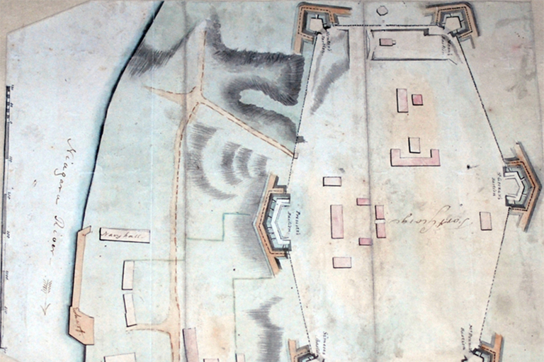
Have your students read “Marking it Out” to learn more about how surveyors create borders. After reading, have students discuss the following questions:
Work with your students to fill out a T-chart comparing the difference between borders on a map versus how they impact people’s lives. Create a chart with two columns labelled “border as an idea (map)” and “border as a lived experience (on land).” Ask students: what is the difference between “border as an idea (map)” and “border as a lived experience (on land)?” Record students’ ideas, exploring examples of borders and how they affect people’s daily lives. Use the following questions to gather and discuss students’ entries:
After completing the T-chart, have a discussion with students considering the following questions:
Provide students with a basic map of physical features of North America, Canada or the province/territory where they live. On their maps, have students sketch a “messy border” that reflects the geography of the area (rivers, mountains, communities) instead of straight lines. Have a discussion with your students about how these “messy borders” might impact people.
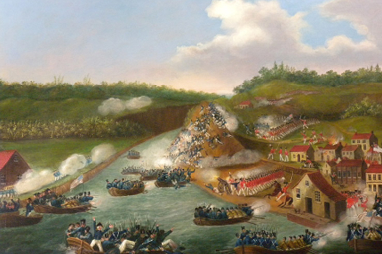
Have a class discussion to explore the Canada-U.S. border, considering the unique challenges that characterize it and might not exist anywhere else. Use the following prompts to guide your discussion: wildlife corridors, waterways, transportation, immigration, security, “defending” borders.
Advertisement