Cypress Hills, Alberta: Secrets of the Great Plains
In the soft shadows of an oasis of hills in the northwestern section of the Great Plains, where the wind scorches the grasses during hot summers and bites through the frigid air of long, harsh winters, a nomadic band of Indigenous camps in a protected site near a spring-fed creek that joins the nearby lake.
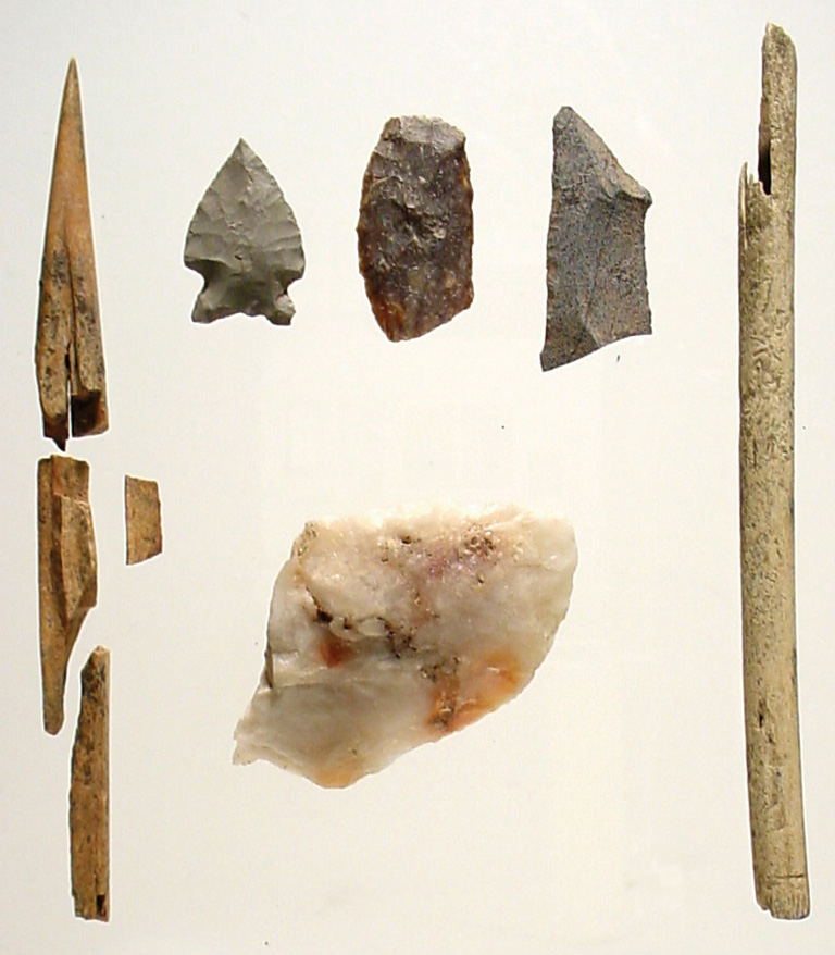
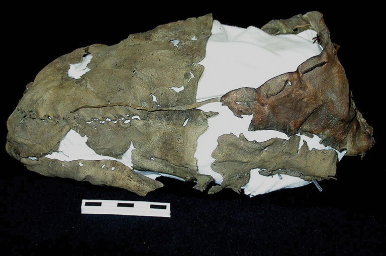
A teepee made of hides shelters an old woman from the afternoon sun. Her lightning-fast fingers hold a delicate bone needle, darting in and out of the elk-skin garment she holds in her lap, securing
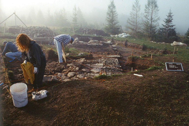
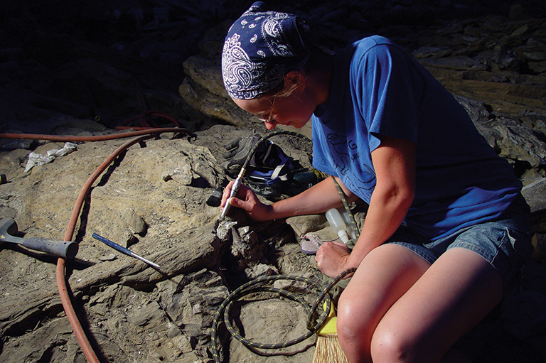
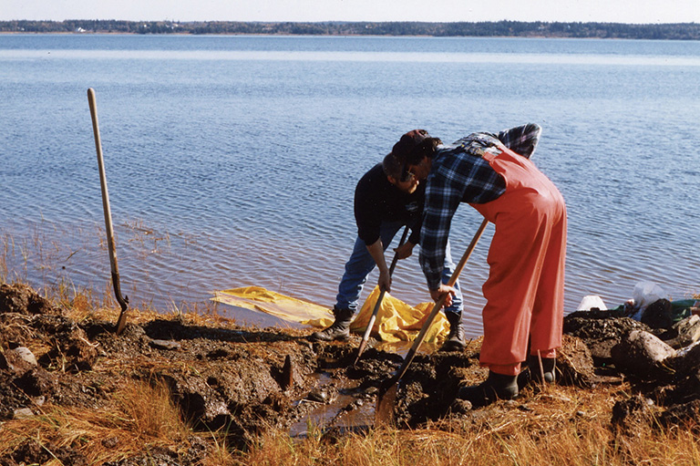
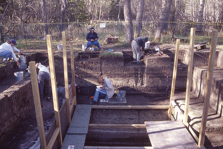
Eight thousand years later, in 2004, that fine bone needle is unearthed at the bottom of a deep pit, intact but for a broken eye. Archaeologist Gerry Oetelaar and his team are ecstatic.
For Oetelaar, the needle is evidence that the site was not just used as a temporary hunting camp but was a long-term camp where family activities took place. But this archaeological site, nestled in the Cypress Hills in Alberta’s southeastern corner, is revealing much more than Oetelaar expected.
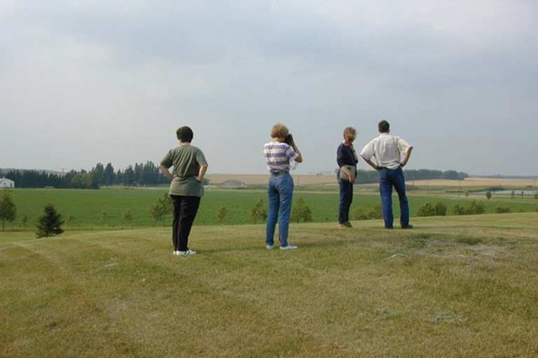
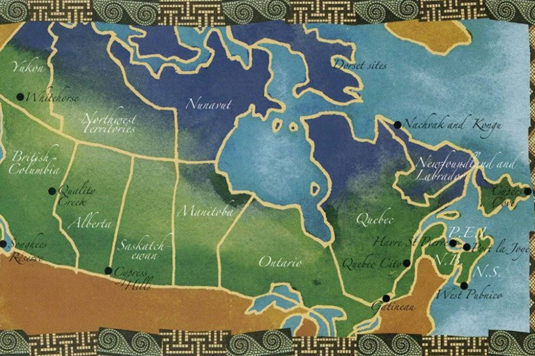
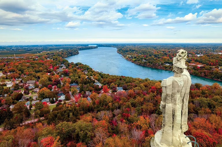
A cluster of hills and grasslands that straddles the Alberta-Saskatchewan border, the Cypress Hills boast the highest elevation between Labrador and the Rocky Mountains. Thousands of years of human occupation around Elkwater Lake have left a rich legacy of archaeological treasures — a legacy that may cause archaeologists to revisit some accepted theories.
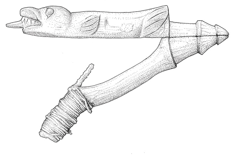
A projectile point used for hunting, fashioned from white chert, a naturally occurring flint-like material of silicon dioxide, has been found here in a layer of human occupation that is 6,000 years old. The point strongly resembles the Besant point, a dart tip of specific design normally believed to be in use 1,200 to 2,000 years ago, leading Oetelaar to question the range of dates typically associated with that style of projectile point.
“What’s truly remarkable for these nomadic groups that moved across the landscape,” says Oetelaar, barely able to contain his excitement, “is that they not only set up camp in the same area but set their fireplaces here in precisely the same location as that of their ancestors thousands of years before them, despite layers of sediment from a local landslide and 10 to 15 centimetres of volcanic ash that would have buried any evidence of previous fires.”
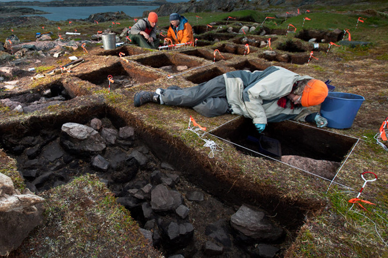
As Oetelaar and his team work down through the layers of sediment, they repeatedly find fireplaces surrounded by dense concentrations of household debris laid directly on top of fireplaces from previous occupations.
“And,” he says, “we still have not found the earliest occupations, which may be as far as 15 metres below the surface.”
Oetelaar, from the University of Calgary, began the project in 2000 to investigate the unique ecosystem of trees, grasses and plants in the local uplands.
Stands of lodgepole pine bend and sway in the wind here. Originating in the Rocky Mountains, and not native to the prairies, the lodgepole is so named because Indigenous groups used it to construct their teepees, or lodges.
Though it has long been known that seeds travel great distances carried by animal, human or environmental movement, Oetelaar theorizes that Indigenous groups took advantage of this and encouraged the growth of certain vegetation, like the lodgepole pine, thereby managing resources for personal use in traditional campgrounds.
Today, if you follow Highways 1, 2 and 3 in Alberta, you will be following the traditional trails of the Blackfoot. Oetelaar believes this well-established system of trails not only followed the migration of the bison but moved along a network of sites, like present-day Medicine Hat (known to the Indigenous peoples as Saamis), that specifically provided an abundance of localized resources — berries, plants and animals.
At each campsite the oral histories and special ceremonies linked to that site provided a sort of history lesson for the succeeding generations.
Oetelaar says this area, known to the Blackfoot as the Divided Hills, was considered common ground to other Indigenous groups, among them the Cree, who knew it as the Thunder Breeding Hills, and the Nakota, who called it “A warm place in the north that is an island by itself.”
In the new Interpretive Centre, scheduled for completion in late 2006 or early 2007 in Cypress Hills Interprovincial Park, the richness of the finds will be revealed in a slice of Oetelaar’s excavation wall, a sort of “book of sediments” providing an educational centerpiece where one can read the site’s evidence of human use, its unique prairie vegetation and its geological development through sedimentary deposition and erosion.
For further information visit CypressHills.com.
We hope you will help us continue to share fascinating stories about Canada’s past.
We highlight our nation’s diverse past by telling stories that illuminate the people, places, and events that unite us as Canadians, and by making those stories accessible to everyone through our free online content.
Canada’s History is a registered charity that depends on contributions from readers like you to share inspiring and informative stories with students and citizens of all ages — award-winning stories written by Canada’s top historians, authors, journalists, and history enthusiasts.
Any amount helps, or better yet, start a monthly donation today. Your support makes all the difference. Thank you!
Themes associated with this article
Advertisement